
PCCA calls for GIS mapping of underground facilities
(UC) — The Power & Communication Contractors Association (PCCA) represents contractors, manufacturers, and suppliers who build and repair America’s power and communications infrastructure, including electric transmission, distribution, and substation facilities and broadband systems.
PCCA members represent some 85% of the construction entities performing broadband deployment and the majority of electric power infrastructure projects across the U.S.
As America prepares for hundreds of billions of dollars for infrastructure improvements in virtually every subsurface market, damage prevention is fundamental, and all stakeholders must ensure that their responsibilities are met. Ensuring accurate mapping of underground facilities is a top priority for PCCA, and the association believes that electronic Geographic Information System (GIS) mapping should be required by facility operators and that the Common Ground Alliance (CGA) should host this data.
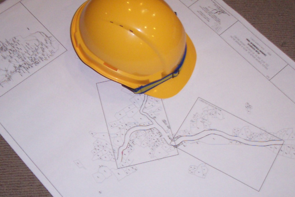
The underground has become a spider's web of utility networks, and accurate mapping of underground utility facilities has become a challenging and difficult task. GIS creates, manages, analyzes, and maps all types of data related to underground facilities. GIS connects data to a map, integrating location data with a range of limiting information regarding the subsurface facilities in that area, and it allows for layering of data tied to geographic points. Rather than restricting the user to limited features on a static map, GIS mapping allows for viewing customizable combinations of data layers in a single dynamic tool.
Common Ground Alliance Is the Best “Honest Broker” for Mapping Info
In 2003, CGA established the Damage Information Reporting Tool (DIRT), which allows for submitting underground damage and near-miss reports into one data repository. Using information submitted through the tool each year, CGA’s DIRT program reports on damages and some of the trends that can be extrapolated from that data. As GIS is increasingly utilized as a tool to ensure more accurate mapping, data regarding the location of all underground facilities should be hosted by CGA, the largest and most trusted damage prevention organization operating in the United States and throughout North America.
PCCA continues to support damage prevention policy that reflects shared responsibility among all stakeholders in the process and promotes four principal pillars to damage prevention: 1) membership of all owners/operators of underground facilities to the state one-call center, 2) accurate and timely locating, 3) potholing of underground facilities, and 4) full and balanced enforcement of state damage prevention statutes. Accurate mapping of underground facilities is a fundamental part of accurate and timely locating and ensuring the use of GIS should be considered as damage prevention legislation is developed and considered.
GIS Mapping Is Vital to Implement Infrastructure Improvements
The recently passed Infrastructure Investment and Jobs Act includes allocated funding for broadband deployment, hardening the electric grid, and infrastructure improvements in a wide range of subsurface utility markets, meaning underground facility damage prevention practices are critical, and all responsibilities must be met. Mandating the use of readily available GIS mapping technologies is clearly the most effective way to ensure for the accurate locating of underground facilities. This critical data should be housed in a single repository, and CGA should be that host.
Related News
From Archive

- Glenfarne Alaska LNG targets late-2026 construction start for 807-mile pipeline project
- U.S. water reuse boom to fuel $47 billion in infrastructure spending through 2035
- $2.3 billion approved to construct 236-mile Texas-to-Gulf gas pipeline
- Major water pipe break in Puerto Rico hits over 165,000 customers
- Potomac River Tunnel project enters construction phase beneath Washington, D.C.
- Pennsylvania American Water launches interactive map to identify, replace lead water service lines
- Trump's tariffs drive $33 million cost increase for Cincinnati sewer project
- Utah city launches historic $70 million tunnel project using box jacking under active rail line
- Tulsa residents warned after sewer lines damaged by boring work
- Fatal trench collapse halts sewer construction in Massachusetts; two workers hospitalized
Comments