
Jacksonville, Florida partners with artificial intelligence company to improve stormwater fee assessment
(UI) – Jacksonville, Florida, will use various state-of-the-art technologies to create a high-resolution map of over 350,000 parcels in Duvale County. These technologies include artificial intelligence, ariel imagery, and geographic information systems. The goal of the project is to streamline private property assessments to determine landowner responsibilities according to the IAC program.
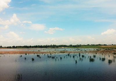
IAC programs are meant to fund stormwater management activities at a local level. However, a city the size of Jacksonville requires an enormous amount of data to properly charge fees to private landowners. By applying AI, ariel, and geographic technology, the Jacksonville Department of Public Works can create digital maps that will increase billing accuracy and efficiency.
Ecopia AI will develop the map to assess pervious and impervious spaces on private properties. First, Ecopia will source images of the area from its partners. Then, developers from the company will use an AI algorithm to examine every pixel of images collected of Jacksonville. The AI has the ability to distinguish between different types of land, generate 2D and 3D maps, and will automatically update based on changes made by the landowners.
According to Ecopia’s Senior Director of Public Sector and International Development Brandon Palin, this concept can also address “large-scale stormwater management issues.”
This story was originally reported on by Stormwater Report.
Related News
From Archive

- Glenfarne Alaska LNG targets late-2026 construction start for 807-mile pipeline project
- U.S. water reuse boom to fuel $47 billion in infrastructure spending through 2035
- $2.3 billion approved to construct 236-mile Texas-to-Gulf gas pipeline
- Major water pipe break in Puerto Rico hits over 165,000 customers
- Potomac River Tunnel project enters construction phase beneath Washington, D.C.
- Pennsylvania American Water launches interactive map to identify, replace lead water service lines
- Trump's tariffs drive $33 million cost increase for Cincinnati sewer project
- Utah city launches historic $70 million tunnel project using box jacking under active rail line
- Tulsa residents warned after sewer lines damaged by boring work
- Fatal trench collapse halts sewer construction in Massachusetts; two workers hospitalized
Comments