
November 2023 Vol. 78 No.11
Features
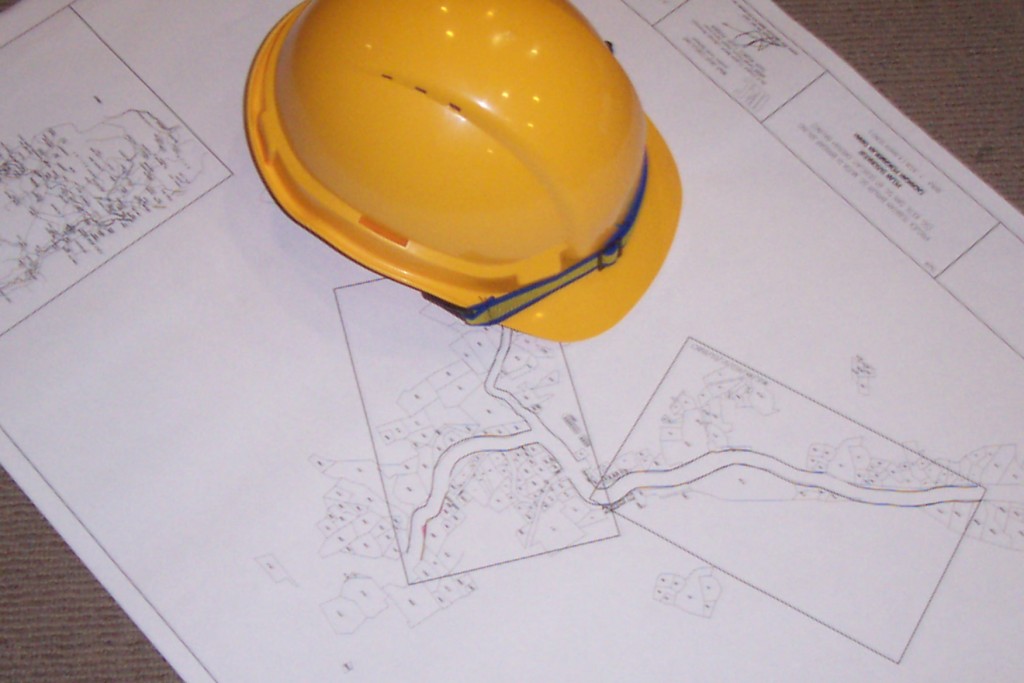
CGA’s GIS case study highlighting value in facility mapping information
(UI) — Common Ground Alliance (CGA) recently released a groundbreaking case study as part of its Next Practices Initiative titled “PILOT: Improving Efficiency and Reducing Damages by Providing Ticket-Level Visualizations of Underground Facilities to Designers, Locators and Excavators.”
The case study introduces the ambitious Minnesota Utilities Mapping Project (MUMP), which aims to provide real-time, ticket-level mapped visualizations of underground utilities to accredited designers, locators and excavators to improve the damage prevention system’s efficiency and out-comes.
RELATED: CGA’s DIRT report correlates infrastructure investment with increased excavation damage
The pilot project leveraged widely accessible technology to create a first-of-its-kind tool that has the potential to revolutionize viewing of underground utility maps for major stakeholder groups. This effort was led by Gopher State One Call (GSOC), with input from the Minnesota Geospatial Advisory Council, to address the persistent challenge of inaccurate or incomplete maps, which contribute to a significant number of damages to buried utilities.
The pilot program uses an open-source software solution that connects to the GSOC ticketing system and captures all relevant ticket information, including the geographic area indicated on the ticket. The program then returns a digital report of the area of interest in the form of a visualization of buried facility data, which can be accessible to end users, including designers, locators, excavators and others, for the life of the 811 ticket.
“We are proud to have designed a scalable tool that will improve the safety of industry stakeholders and communities, as well as the longevity of our vital underground infrastructure,” said Barb Cederberg, chief operations officer of Gopher State One Call. “We’re excited about the possibilities that this technology has to improve damage outcomes as we look to build out the program on a state and then possibly national level.”
Encouraging innovation
This case study was documented by CGA’s Next Practices Initiative, which seeks to encourage innovation and new practices to address the most critical challenges facing the damage prevention industry. The Next Practices Initiative identified “pursuing an accurate, accessible GIS-based map-ping system/database,” as one of the opportunities for improvement in the damage prevention system with the greatest potential return on investment for the industry.
In an effort to encourage the deployment of new technology, CGA provided a grant to MUMP to help develop an open-source software module for broader use based on the unprecedented pilot program.
“The Next Practices Initiative is a critical component of CGA’s efforts to recognize and address areas of improvement in damage prevention, while also promoting groundbreaking technologies and innovations that can help us overcome our most pressing challenges,” said Sarah Magruder Lyle, president and CEO of Common Ground Alliance.
“This case study highlights the power of Next Practices in driving positive change within our stakeholder industries, and we encourage all stakeholders to work on furthering technologies and targeted strategies to help us achieve our ‘50 in 5’ industry goal to cut damages in half over the next five years.”
To read this full case study, along with other Next Practices case studies, please visit CGA’s website at comongroundalliance.com.

Comments